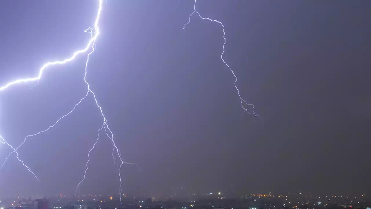
As our climate changes, warming temperatures is increasing thunderstorm potential for parts of the United Sates. Why is this important? All it takes is just one lightning strike with our drought to spark a large fire.
The map below is based on a weather tool we use called CAPE or Convective Available Potential Energy. Higher CAPE values indicate a higher chance of thunderstorm activity.
You’ll see since 1979 we are now averaging 20 to 40 more days of higher thunderstorm chances over the East, lower chances in parts of the Central U.S. and increased chances for parts of the West. Specifically in California we now average 5 more t-storm days for parts of the North and East Bay along with the Central Valley.
Berita ini telah kami rangkum agar Anda dapat membacanya dengan cepat. Jika Anda tertarik dengan beritanya, Anda dapat membaca teks lengkapnya di sini. Baca lebih lajut: