A low-pressure system that dove into Northern California over the weekend ushered chilly air into the Golden State.
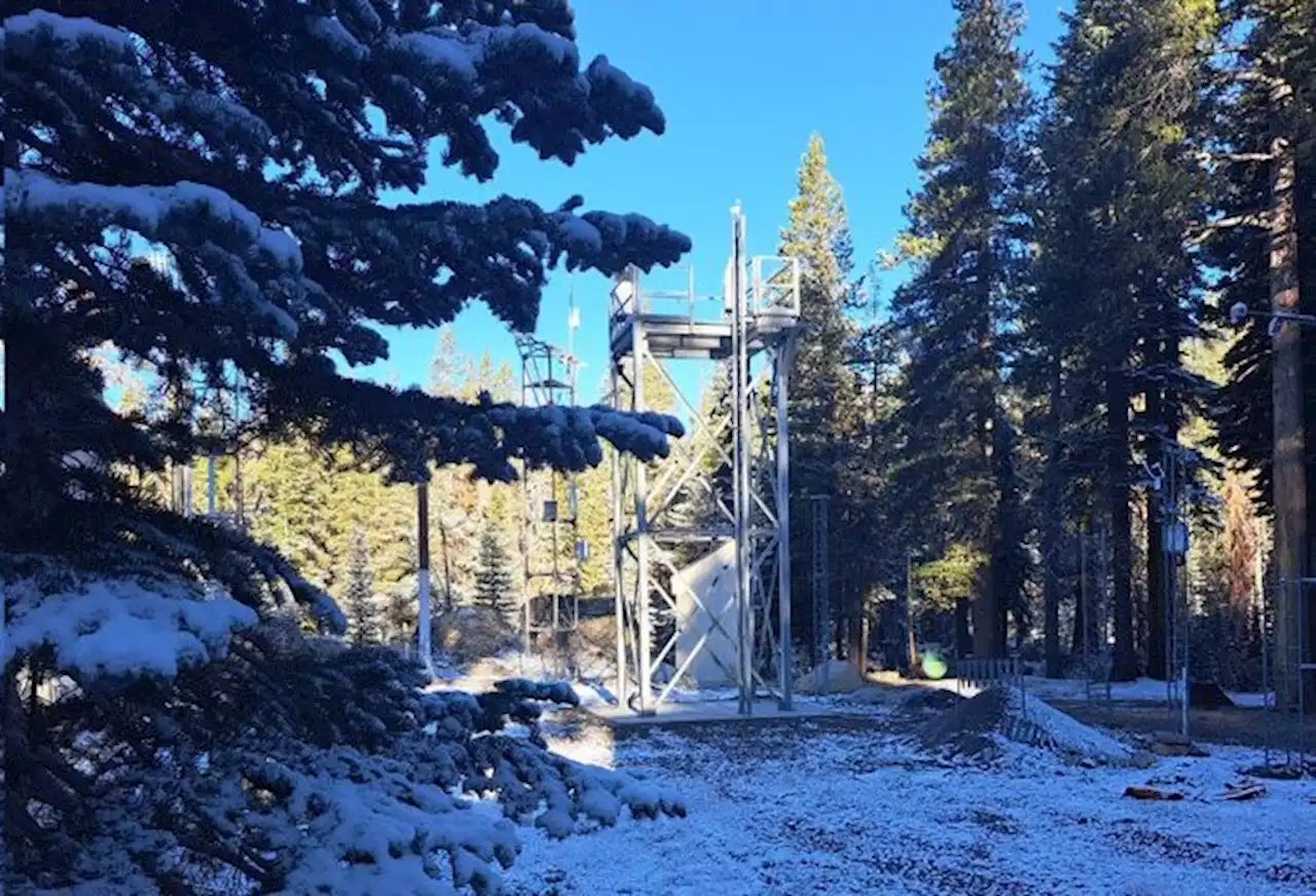
The UC Berkeley Central Sierra Snow Lab in Soda Springs reported 1.4 inch of snow across Saturday and Sunday.A low-pressure system that dove into Northern California over the weekend ushered chilly air into the Golden State with reports of light snow in the Sierra Nevada and frost in the San Francisco Bay Area, the National Weather Service said.A frost advisory was in effect until 9 a.m.
"Temperatures in the Petaluma Valley up through Santa Rosa are in the 30s to low 40s," Canepa said."Napa Valley isn't quite as chilly as we thought it might have been." It's expected to be chilly again Monday night into Tuesday morning, especially across the southern interior forecast area. A quick-moving weak cold front is forecast to sweep into the Bay Area Tuesday and Wednesday will bring a slight chance of rain.
Good morning Bay Area! Here's a look at early morning temps. It's a chilly start with many areas in the 40s and 50s. Some of the colder valleys have even dipped into the 30s. Look for a nice warmup by this afternoon with plenty of sun and temps in the 60s and 70s.