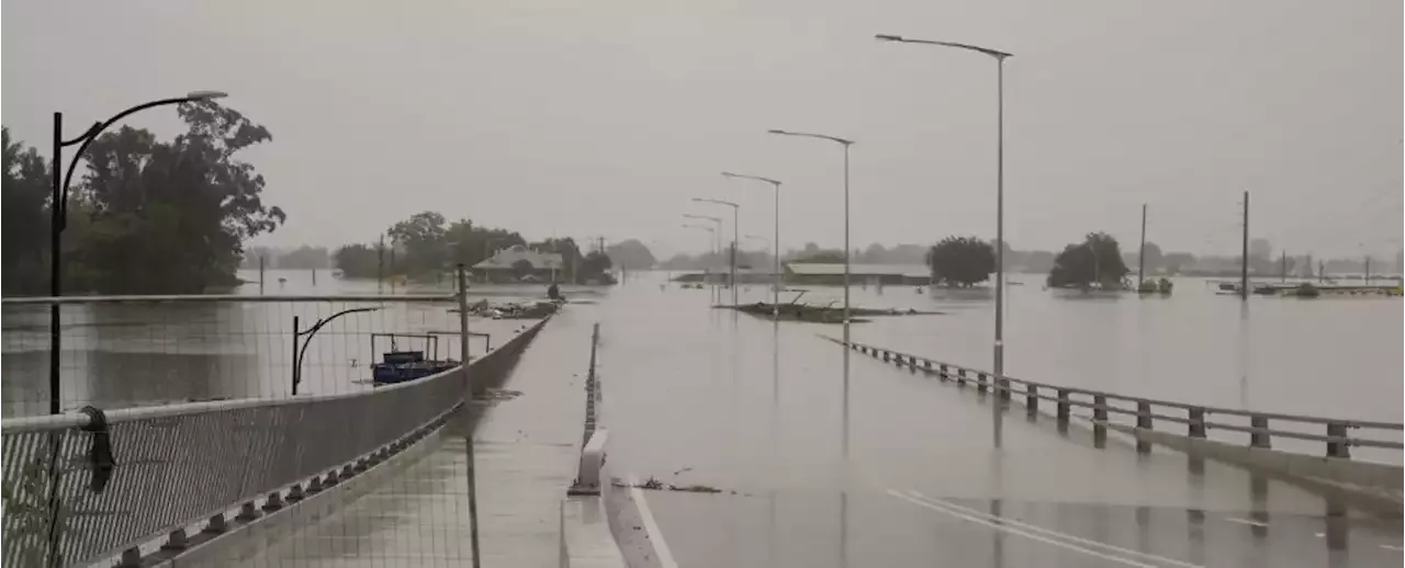
As the world braces for a third consecutive year of exceptional La Niña conditions, a new study reveals how our climate models might have missed this disastrous 'triple-dip' effect.
as normal conditions, strong trade winds push the surface layer of the Pacific Ocean west, dragging a layer of warm water like a finger dragging a page in a book. Deeper, cooler water rises to replace it near the Central American coast, establishing temperature and moisture conditions for local weather patterns.
With global warming generally increasing sea surface temperatures, both El Niño and La Niña are expected to become more frequent and severe, with extreme eventsSo why is La Niña running the show right now? While climate models accurately paint the big picture on future trends, predicting the precise swing of the pendulum is taking some work.
These models were unable to reproduce reality in both equatorial and midlatitude oceans. Only one even got remotely close.
Indonesia Berita Terbaru, Indonesia Berita utama
Similar News:Anda juga dapat membaca berita serupa dengan ini yang kami kumpulkan dari sumber berita lain.
 ‘House of the Dragon’ Episode 7: Every Easter Egg and SecretEvery little detail you missed this week in Westeros.
Baca lebih lajut »
 Hyundai offers pricey fix for easily stolen 'TikTok challenge' models | AutoblogCertain Hyundai owners can take advantage of the device, which adds the alarm and immobilizer functions many older models are missing.
Baca lebih lajut »